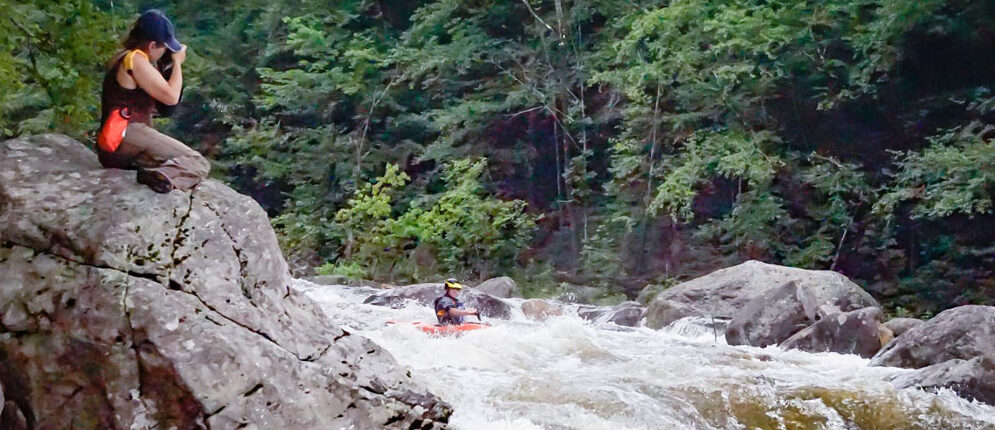
The Dryway is (for better or worse) the definition of a class 4 in our area. With frequent releases in a beautiful area, it’s as good as spot as any to step up and a great place to practice moves. But don’t let it’s popularity full you…nearly every major rapid has had serious injuries. This is no place for shaky skills or a sometimes roll.
River Classification *III – IV
Nearest City and State *Monroe Bridge, MA
Minimum Water Flow Level * 600 cfs , 900 for releases
Minimum Water Flow Level * 600 cfs , 900 for releases
Maximum Water Flow Level *1200 for releases, 2000 cfs (for class 4).
Description * This is a frequently run stretch of the Deerfield described at https://www.americanwhitewater.org/content/River/view/river-detail/681/main .
The Dryway has frequent and well attended releases from 900-1200 cfs which include professional guided raft trips which offer added level of safety as there are both rafts often available for evacuation and skilled safety boaters who do lend a hand. Rafting companies take an active part in filling sieves and removing strainers. Their photographers are often even near the bottom of the harder rapids and ready with a throw rope.
Put in on the south side of the river at the intersection of Depot Street and Old Railroad Grade, Monroe Bridge, MA. Take out is 1/4 mile south of the Dunbar Brook picnic area, Rowe MA.
Medical Emergencies *
North Adams Hospital has a 24-hour emergency room approximately 15 miles away.
No cell phone service in the area so a float plan with takeout time should be posted.
Monroe Bridge, the small town at the launch, is a paddling community so nearly every home would be open phone use. Dial 911.
Fire department in Rowe, Mass, about 4 miles away. 4 Sibley Road, Rowe, MA 01367. 413-339-4001 (Fire Station) or 413-339-5520 ext. 112.
Evacuation Plan *
A 4-wheel drive road (Old Railroad Grade) parallels river left and evacuation to main road/picnic area is possible from all rapids. Several points on river right also have good evacuation routes, most notably at the the most difficult rapids, Dunbar’s, Dragon’s Tooth and Labyrinth (follow the fence).
River Road follows river right and is close to the river for about 1/2 of the run, including Split Hair and S-turn.
River Road follows river right and is close to the river for about 1/2 of the run, including Split Hair and S-turn.


